Reading the map
Thematic maps are created by shading geographical areas based on their values within a certain dataset. This allows geographical trends or hotspots to be easily identified.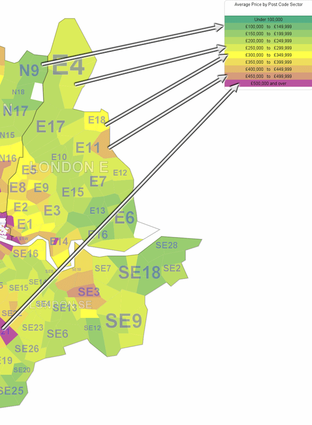
Themes contain a number of unique segments (buckets), which are shaded differently. You can see these if you look at the legend.
Data values of each geographical area will fall into one of these segments/categories; and will be shaded in the corresponding colour.
Sometimes a segment can relate to one certain value - like a Mosaic Group. Usually these are non-numeric.
Otherwise a segment can cover a range of numeric values (Ranged Themes). This is the case with the example shown.
Typically 'Ranged Themes' contain ranges of values of equal size between zero and the maximum value in the dataset.